Tarsar Marsar Trek
A 5-day forest-and-alpine-lake circuit from Aru to the twin lakes of Tarsar and Marsar
No reason has been recorded. Closures here are usually snow, a damaged crossing, or an order restricting access — check locally before you travel.
Closed · 5 days
- 5 days
- Duration
Season window
The season runs from the beginning of July to the beginning of September, and July–August are both the best and the busiest weeks; the June opening is a snow-year judgement call rather than a fixed date, and the trek generally closes in the first week of September.
Next in season from July.
Route & trail
No surveyed route yet.
This trek has not been digitised, so there is no map, no elevation profile and no checkpoint list for it. Everything else on this page is editor-checked information about the walk itself.
Safety & conditions
Permits
No individually-obtainable government permit is documented for this trek. Official J&K tourism listings for the Pahalgam–Aru–Tarsar routes state no permit requirement, and Indiahikes’ trek page gives none. Operators list forest permits, camping charges and trek permit fees as line items they collect themselves; one operator claims an Inner Line Permit and Wildlife Permit apply, which no official J&K source corroborates for Aru or Pahalgam. Carry a government photo ID and, ideally, a medical certificate: a minority of Kashmir routes require permission from the **local police station** (one to two working days), and Pahalgam-area trails fall under the **Pahalgam Development Authority**. Confirm at Pahalgam before you set out.
NOT OFFICIALLY VERIFIED — CONFIRM BEFORE YOU TRAVEL
Getting there
About 45 km from Srinagar as the crow flies — the road is longer.
Directions to the trailheadGear checklist
0 / 25CLOTHING
GEAR
SAFETY
MEDICAL
The Kashmir Explorer app keeps the same checklist on your account and inside the offline Trek Pack.
About this trek
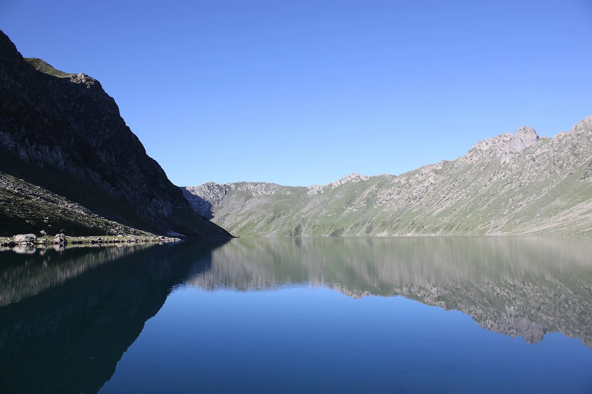
The Tarsar Marsar trek runs from Aru near Pahalgam through the pine forests of Lidderwat to two almond-shaped alpine lakes, Tarsar and Marsar, separated by a ridge above 4,000 metres. The route passes seasonal Gujjar settlements, high meadows and moraine before reaching Tarsar, with most itineraries returning via Sundersar Lake or the Homwas valley. Usually walked over 5 days, it is considered one of the most beautiful and less crowded treks in Kashmir.
Photographs
No trekker reports yet.
Conditions on this route change week to week. If you walk it, a short report on pass snow and river levels genuinely helps the next group — reports are posted from the Kashmir Explorer app.
Where this data comes from
On the trail
The Kashmir Explorer app is where a trek stops being a page and starts being a walk.
- Offline Trek PackRoute, checkpoints, itinerary, safety, permits, gear and a corridor of map tiles, downloaded to your phone.
- Offline GPS navigationFollow the route with no signal, with your position on the line.
- Live trek sessionStart the trek, track progress checkpoint by checkpoint, and pick it up where you left off.
- Off-route alertsThe app watches your GPS against the route and warns you when you drift off it.
Prepare this trek on your phone before you leave signal. The trek, the route and the numbers are identical to this page — one catalogue, one Official Route.